Bicycling Montana, Wyoming,
Colorado and New Mexico - 2006
Leadville to Poncha Springs, CO
June 27, 2006
Distance 57.3 Miles
Climbing Elevation: 975 feet
We left Leadville about 8:45 AM and headed south to Poncha Springs, CO. At the end of the first 20 miles our average speed was above 20 miles per hour. We had a tail wind and were going downhill. It was great. We stopped at Granite, CO for a snack and at Buena Vista, CO we ate another very light breakfast. We did have one problem, although we were going downhill, the wind was now a head wind and our speed was therefore reduced. We were following the Arkansas River which starts at the top of Fremont Pass which we climbed a couple of days ago to reach Leadville.

As we continued south, we passed signs that pointed to our right at the mountain peaks, Mt Harvard, Mt Yale, Mt Columbia, Mt Princeton. All of these mountains were higher than 14,000 feet.
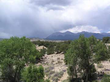
Finally we were within 15 miles of Poncha Springs. For the first time today we were in our granny gear going just over 4 miles per hour. We reached the top and stopped at a service station. We talked to two bicycle riders who were out for a day ride. We left and headed on a county road that paralleled the highway. It did not have any traffic and was all down hill. We got back on the main highway and in a very short time we were again in our granny gear for going up a very long grade. As we were climbing, I looked at the mountains and saw they were being rained upon.

We reached the top and quickly went down towards Poncha Springs. We stopped at the only motel near the intersection but there was no one in the office. We waited about 20 minutes before someone arrived and rented us a room. For the first time, the management did not want us to put the bicycle in our room, but they did lock it up in their garage.
|
